The Israeli army has ordered the evacuation of large swathes of Gaza after a series of deadly overnight strikes, including areas that satellite images show are densely populated. The evacuation map covers most of the perimeter of the Gaza Strip, an area that amounts to 37% of Gaza's land, which experts have told Sky News is estimated to be more than double the size of a previously designated 'buffer zone'. Thousands of civilians had returned to northern Gaza earlier this year after Israel launched an offensive into the north last October that forced tens of thousands of Gazans to flee south.
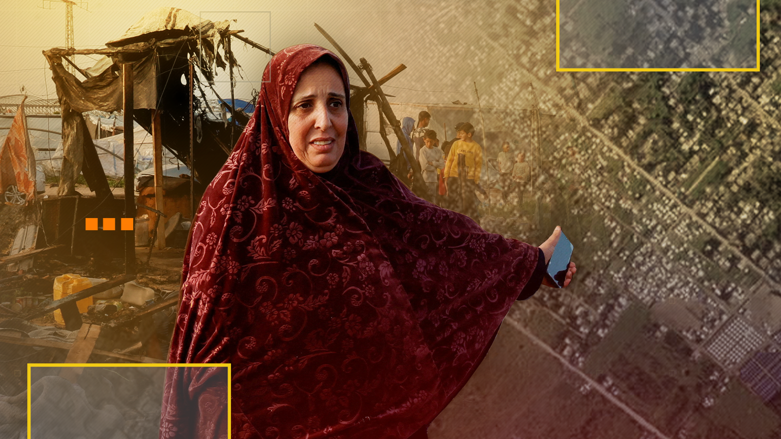 image sourced from original article at https://news.sky.com/story/satellite-images-reveal-thousands-of-new-tents-near-gaza-border-area-under-israeli-evacuation-order-13331489
Original article source: https://news.sky.com/story/satellite-images-reveal-thousands-of-new-tents-near-gaza-border-area-under-israeli-evacuation-order-13331489
Source Id: 8595951170