Maxar Intelligence has developed Raptor, a new drone-guiding technology that can operate drones in areas where GPS signals have been jammed. The software uses a 3D map of the world to guide drones and compare it to the video feed to position themselves. Raptor can be installed on existing drones and uses camera-based recognition to navigate and identify ground coordinates in contested or remote areas. Maxar believes it has the largest global collection of high-resolution terrain data, allowing for accurate navigation without GPS. The technology is expected to be used for both commercial and defense purposes.
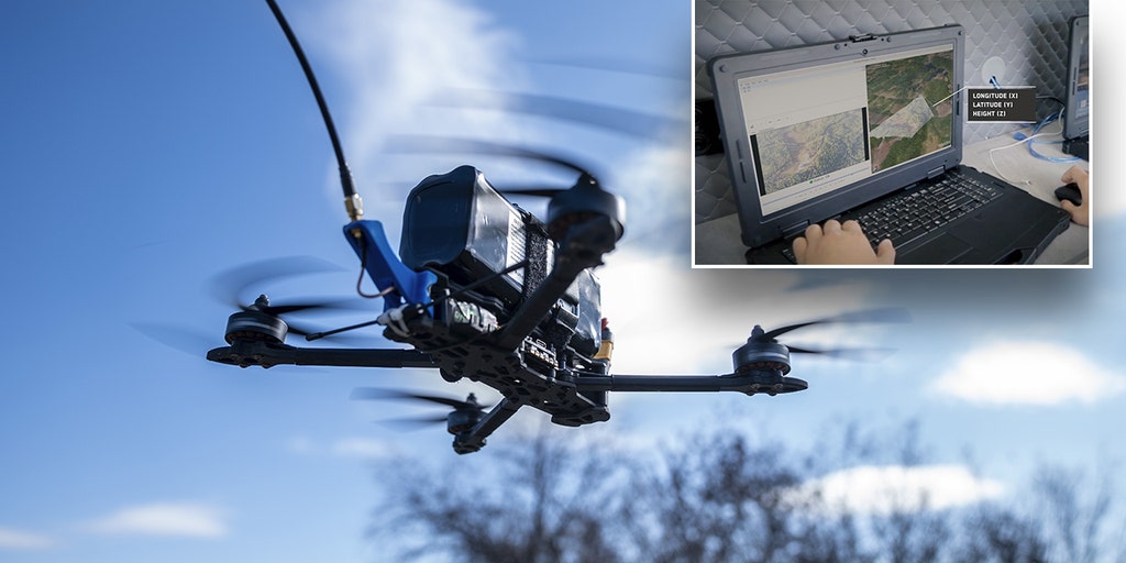 image sourced from original article at https://www.foxnews.com/politics/maxar-intelligence-gps-system-drones
Original article source: https://www.foxnews.com/politics/maxar-intelligence-gps-system-drones
Source Id: 8605510937